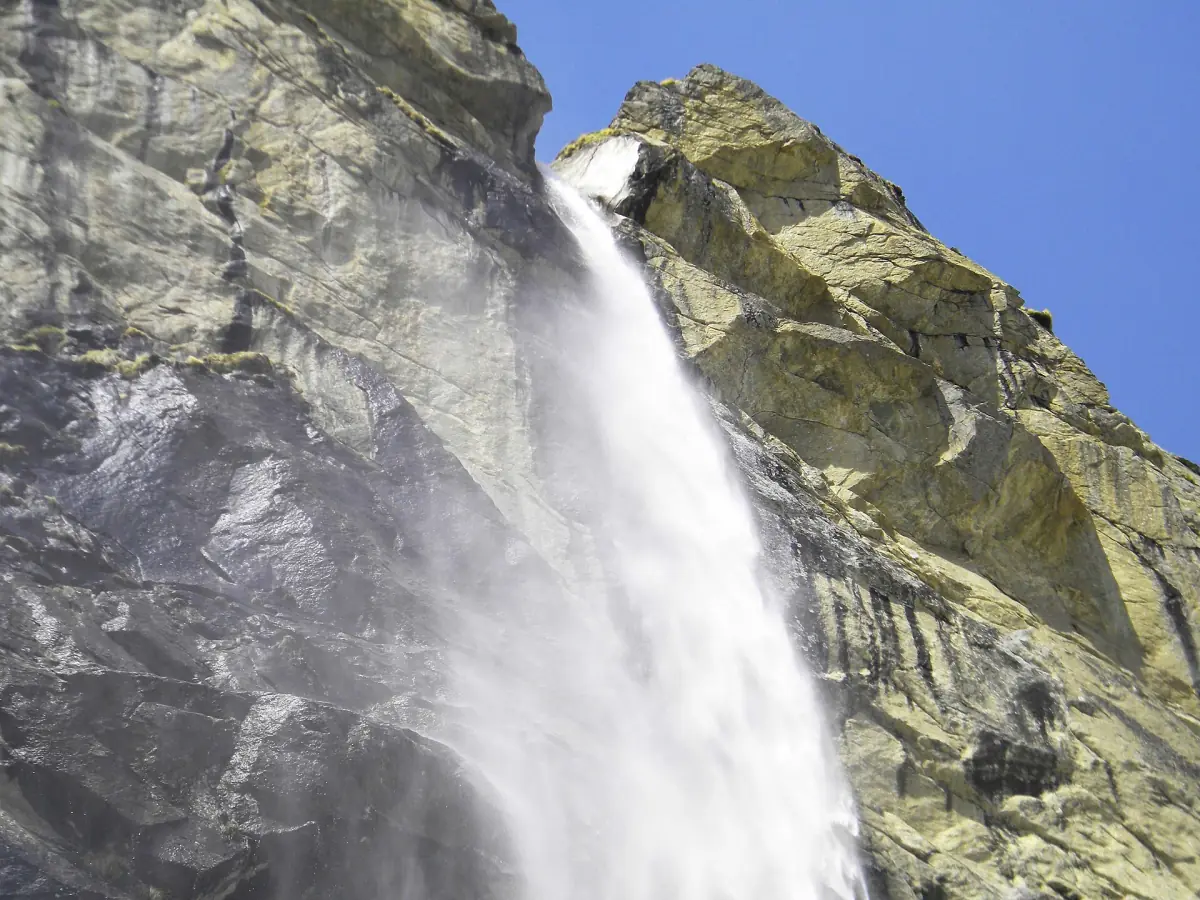
Vasudhara Falls: the trek from Mana
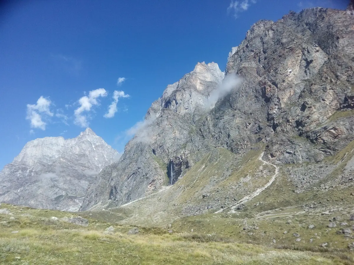
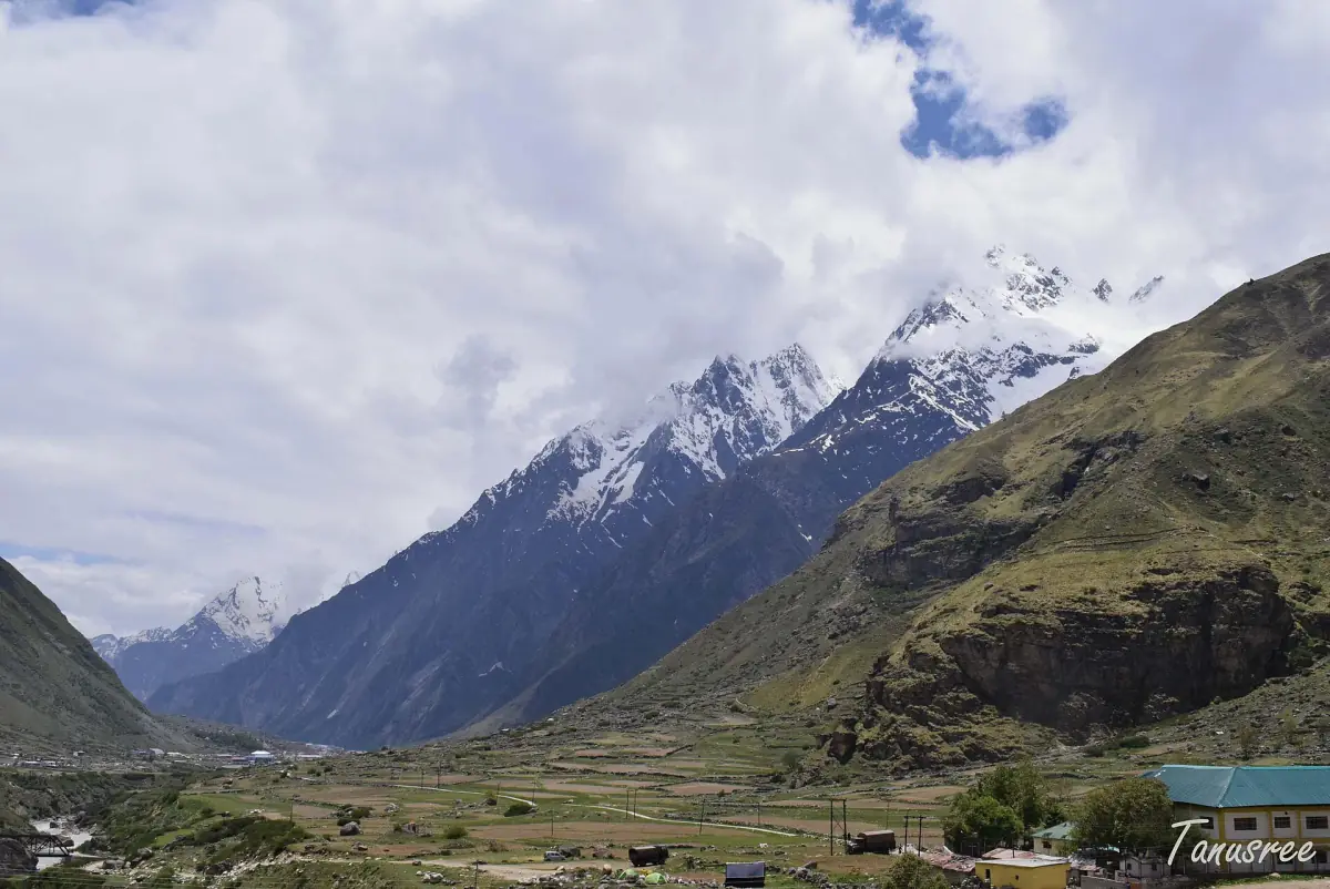
Vasudhara Falls lies west of Mana, the village about 4 km from Badrinath. You reach it on foot from Mana. Plan it as a trek and not a promenade, because you are above 3,000 m.
The distance from Mana is 5 to 7 km, depending on where you start counting and which route you take. The fall is about 145 m high. Treat the figures as approximate. To combine the walk with a temple visit, look at the Badrinath tours and Char Dham packages and ask whether the trek is part of the day.
Badrinath and Mana tours
Guided trips that include Badrinath and the Mana valley, with live prices and availability.
Distance and walking time
The trek from Mana is about 5 to 7 km. Do not take either figure as exact, and do not plan around a fixed walking time. How long you need depends on your pace, your acclimatisation, the weather and the condition of the trail on the day. Ask in Mana before you set off, and decide with local advice how far you go.
Start early, carry water and a warm layer, and agree a turn-back time with your group before you leave the village. Whether any fee applies and whether the trail is open on a given day should also be checked on the spot.
Season for Vasudhara Falls
When the trek makes sense.
The usual window
The Badrinath area is visited from May to October, and the temple itself closes in the winter. The trek belongs to those months. Do not plan a Vasudhara walk for winter, when the temple is shut and access is not assured.
Rain and landslides
Heavy rain can pause the Yatra and the trekking on short notice, even in the autumn. Landslides can also close the road to Badrinath and Mana. Keep a day of slack in your plan. See weather and best time.
Clouds and views
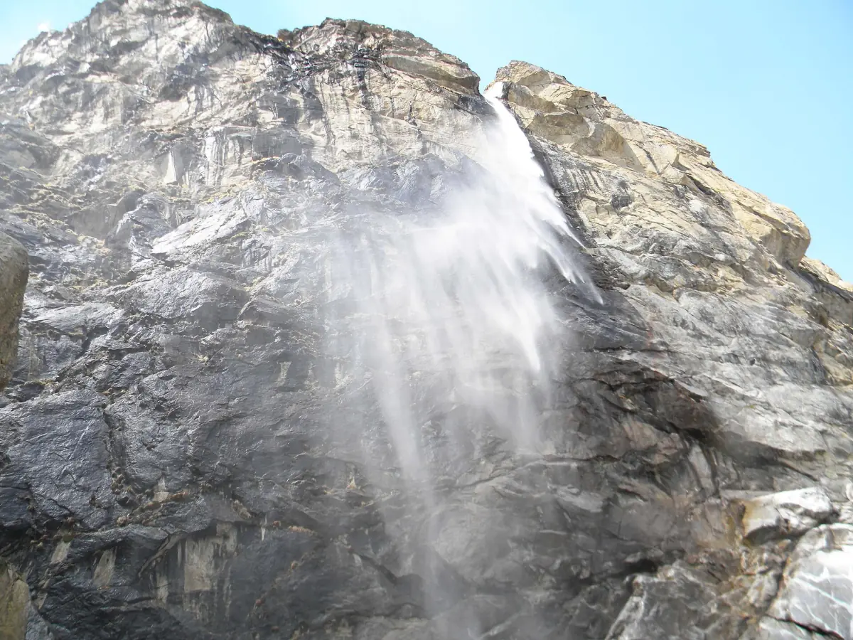
Mist and cloud can hide the fall and the peaks. An early start gives you the better chance to see the water against the rock, but nothing guarantees a clear day.
Satopanth Lake: permit and guide
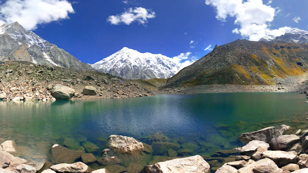
Satopanth is a lake about 26 km from Mana and a multi-day trek. It is not a day walk from Vasudhara. In 2026 the route opened at the end of May. A park permit is needed, either online or offline, along with a health check in Joshimath (Jyotirmath), and a guide is required. Tour operators arrange the permit and the guide.
Park charges for 2026 are ₹100 per person per day, ₹320 per guide or porter per day and ₹450 per tent per day. They are park charges only and not the price of the trek. Do not go to Satopanth on your own without the permit.
Staying safe at altitude
Simple rules for the thin air above Badrinath.
Acclimatise first
Badrinath is at about 3,100 m and the trail climbs higher. Above 2,500 m the health advice for the Yatra recommends about 300 to 500 m of extra height a day. Spend a night or two before a long walk, and do not combine arrival and trek on the same day.
Know the warning signs
Headache, dizziness, nausea, tiredness and breathlessness are not just fatigue. Descend and rest. Breathlessness at rest or confusion calls for medical help straight away. Do not take medicine for prevention without a doctor.
Emergency numbers
The State Emergency Operation Centre can be reached on 1070 or 0135-2710334. Carry your registration letter, your ID and any medicine prescribed to you.
Char Dham registration →More around Mana
Other pages for your days in the valley.
What to carry on the trek
A short list for a day above 3,000 m.
Clothing
Warm layers, a windproof and waterproof shell, a hat and gloves. The weather turns fast in the mountains, and sweat cools quickly in the wind.
Food, water and medicine
Carry more water than you expect to drink and some food, as well as the medicine prescribed to you. Do not leave rubbish on the trail, and do not drink alcohol or smoke.
Papers
Take a valid ID and your registration letter with its QR code. For Satopanth, carry the park permit as well.
Footwear
Wear sturdy shoes with a good grip. Trekking poles help on the way down, especially on wet stone.
Vasudhara Falls: frequently asked questions
How far is Vasudhara Falls from Mana?
The trek is 5 to 7 km, depending on the route. Both figures are approximate.
How long does the walk take?
That depends on your pace, your acclimatisation, the weather and the trail. Ask in Mana on the day and do not plan around a fixed time.
How high is Vasudhara Falls?
About 145 m. Treat the figure as approximate.
When is the best season?
Within the months when Badrinath is open, usually May to October. Avoid the winter, and keep a spare day for rain.
Do I need a permit for Vasudhara Falls?
Ask in Mana whether the trail is open and whether a fee applies on your day. For Satopanth Lake a park permit and a guide are required.
How much are the park charges for Satopanth?
Park charges for 2026 are ₹100 per person per day, ₹320 per guide or porter per day and ₹450 per tent per day. They are park charges only, not the price of the trek.